This is an automated archive made by the Lemmit Bot.
The original was posted on /r/science by /u/Wagamaga on 2024-12-21 07:38:31+00:00.
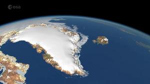
Original Title: ESA and NASA satellites deliver first joint picture of Greenland Ice Sheet melting. Between 2010 and 2023, the Greenland Ice Sheet thinned by 1.2 metres on average. However, thinning across the ice sheet’s margin (the ablation zone) was over five times larger, amounting to 6.4 metres on average.
You must log in or register to comment.


